map lover, geo data geek, working at @ubilabs

🤯 BONUS: Check out this cool Data Visualization Demo using WebGL-powered maps features. goo.gle/io22-webgl-demo

Our project "timelapse" for @googleearth has been honored as a gold medal winner in two categories at the @anthemawards 🥇🙌 The awards remark best in class examples of the work leading the way in the Impact Industry. We are thrilled to be among them! go.ubilabs.co/34VzSl3

We have a feeling that there are a lot of Christmas wishes this year. We wanna make sure your wish reaches Santa in time, so we built this little wish tracker for you! Simply send your wish and follow its route to Santa. This way no wish gets lost🎅 xmas2021.ubilabs.com/
After 30 days and more than 120 map creations, our colleagues can safely say they completed Topi's #30daymapchallenge! 🙌 Check out their amazing maps on our blog: ubilabs.com/en/insights/30da…


And we are done! It's a wrap. Every day had an individual challenge and exposed me to some new aspects of QGIS. I learned so much these past weeks, goal accomplished! @tjukanov thanks a lot for the ride Day 30 of #30DayMapChallenge: meta mapping

All countries centred around null island. Day 29 of #30DayMapChallenge: null

Earth is not flat, actually she is turning round and round and round... Day 28 of #30DayMapChallenge: earth is not flat

Get your personal BoundingBox by clicking your travel destination on the map: pmast.net/personalBB/ Day 25 of #30DayMapChallenge: interactive map
#pangea 250 million years ago Day 24 of #30DayMapChallenge: historical map

World population in a 5 degree grid Day 23 of #30DayMapChallenge: Data Challenge – GHS

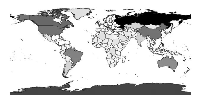
John Lennon: "#imagin there's no countries" Day 22 of #30DayMapChallenge: boundaries

Another one from my personal bucket list and another deep dive in QGIS. Thanks to @cartocalypse's script. Day 21 of #30DayMapChallenge: elevation

All and only the world's islands. Day 19 of #30DayMapChallenge: islands